Oxfordshire Parish Registers & Maps
Parish register coverage
OFHS has transcribed many parish registers across Oxfordshire, listing baptisms, marriages, and burials. We have a full list of the Oxfordshire parishes and the transcription CDs Look at it and see if you'd like to buy any of them. Then to make a purchase go to the shop. Please note that as well as the CDs, some parishes may be available in microfiche and downloads. When OFHS has sold all the CDs it has, downloads will be the normal way to purchase the transcriptions. In time we hope to be able to offer downloads for individual parishes.
We have another tool which shows you the parish register transcriptions. Click on a parish on the map which can be accessed using the link a little lower on this page. Once there, select from the drop-down list of parishes or type the parish name.
The results will show you for a given parish how many entries there are for baptisms, marriages, burials and monumental inscriptions; the name of the CD on which they are located and details of events per year in that parish.
Please note that this database opens in a separate website.
Go to Parish Register Map database
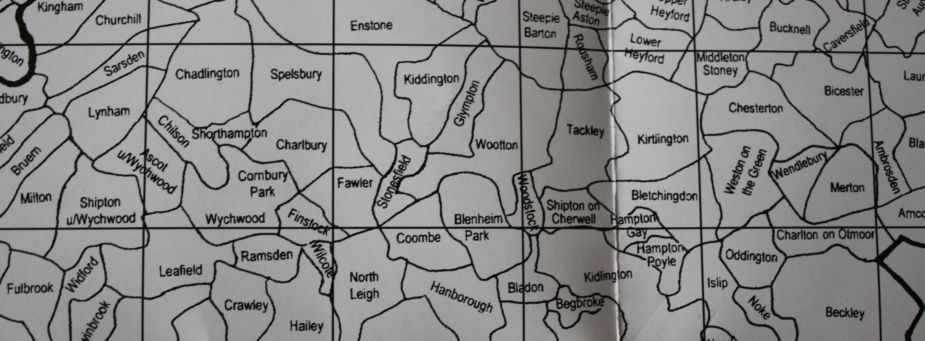
Oxfordshire Parish and Oxford City Maps
The Oxfordshire parish map and Oxford city map are both available to view and to save.
1801 Map of the County of Oxford
This map on the MapCo website is very useful as it colour codes the individual hundreds.
Migration map
This map shows how families have migrated around Oxfordshire between 1538 and 1851. Only certain names are currently available. Select the name from the drop down list to see the migration map for that surname.
Please note that this database opens in a separate website.